Numbers speak for themselves

2010
Establishment Year
0 +
Countries Served
0 m²+
Point Cloud to CAD
0 m²+
Point Cloud to 3D Revit
0 km+
Utility Networking
0 +
Global Client

Who we are

CadLeistungen is a leading provider of end-to-end GIS, CAD and 3D Visualization Services to its Clients Worldwide. The company brings together deep domain expertise, strong financials, skilled resource base and 14 years of experience to meet a variety of customer needs in geospatial and IT services. CadLeistungen (Sister Concern Company of SomeshInfoTech) an ISO 9001:2015 certified company in Bhubaneswar, Odisha, India, started up in 2010. The company has a deserved reputation of providing reliable, quality driven, cost effective, and highly competitive services and solutions. We have been one of the largest providers of services in CAD drafting, CAD data Conversion, Point cloud, GIS Data Conversion and 3D Modeling and Visualization, Floor plans for real estate marketing, Point cloud to CAD, 3D Revit modeling, Utility mapping and CAD/GIS data conversion.

Our Mission

CadLeistungen team is there ready for providing great services of GIS, CAD and 3D rendering survey drafting to the client. As we all know, each client has his own quality preference, precise quality, delivery on time and getting a better price which we take care and gives the services at the cost effective price and open to signing up agreements on non disclosure & confidentiality for customer satisfaction to make their client business stronger.

Our Vision

Our vision is to furnishing innovational GIS| CAD| 3D- based services in the area of Architecture, Engineering, Forestry, Surveyors, Telecom, Real Estate and Utility across the world wide. Right denouement comes from best design. Our vision is closely aligned with our client’s requirements and priorities, and we relentlessly purse the creation of measurable value. Our excellent infrastructure, skills and technological capabilities allows us to consistently deliver value- added services.

What we do

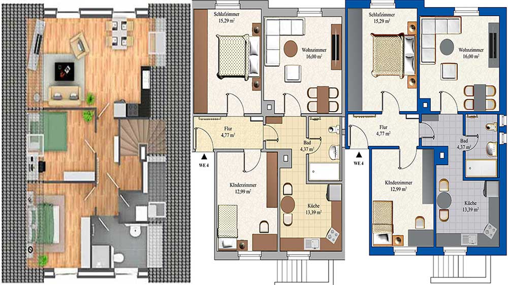
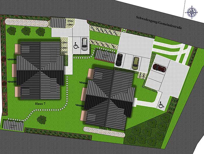
Floor Plan

Now it even easier, simple, fast, inexpensive, effective to get your floor plan. That’s the aim of the cad Leistungen team.

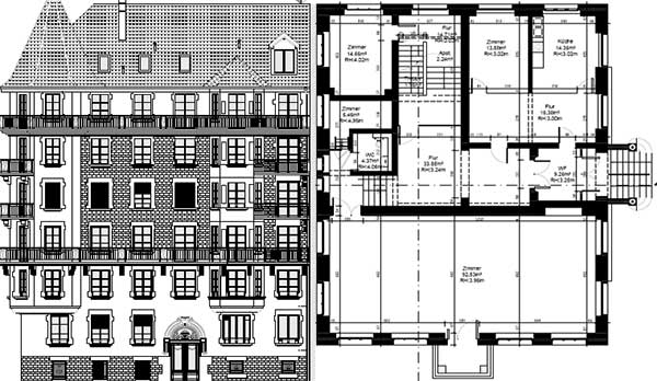
Point Cloud to 2D

3D Point Cloud is a software concept and is a very useful one for various purposes. 3D representation of existing structure

CAD Services

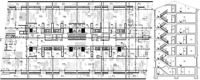
Our CAD data conversion solutions are highly accurate as we make use of the most advanced computer-aided design

GIS Services

Our GIS Data Conversion services are offered at extremely competitive prices that make us unique among all other

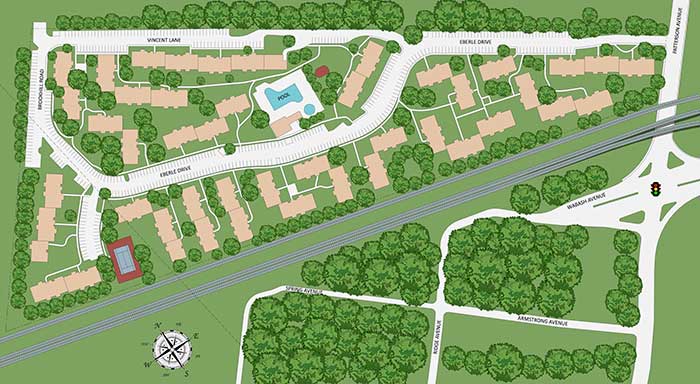
Utility Mapping

We are capable of mapping utilities of various users in the field of GAS distribution, Water distribution, sewage

Complete 3D Visualization

The prime aim here is to create 3D Architectural models with complete real-world detailing. This offers high levels of

Order now and receive your professionally created floor plans within 24-48 hours

The fusion of BIM

In the ever- evolving landscape of the construction industry, Building Information Modeling(BIM) stands as a beacon of innovation, guiding the way towards efficiency, collaboration, and excellence.

Mapping the future, one infrastructure project at a time. Imagine merging detailed design plans with real-world terrain data. This powerful combo, fueled by BIM and GIS, unlocks a deeper understanding of how infrastructure interacts with its environment. From planning to operation, it’s a recipe for better

You can dream, design and build the most wonderful place in the world.

Turning a vision into reality requires seamless teamwork. AEC Tools and BIM360 , Join forces, simplifying your infrastructure project. Manage documents, design, models and collaborate- all in one place Build smarter, smoother, and stronger. 

3D Laser Scanning Survey

A laser scanner emits laser beams in a controlled pattern over the object or area being surveyed.

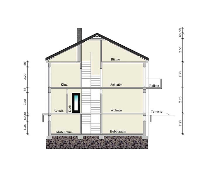
Point cloud to 2D CAD

2D Point Cloud is a software concept and is a very useful one for various purposes.

3D Revit Modeling

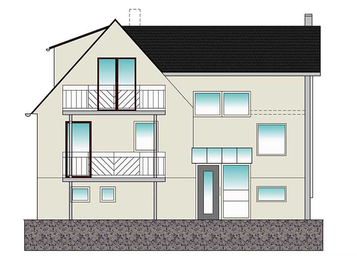
Using Revit's modeling tools, architects and designers create the basic geometry of the building or structure.

How we work

Our work is our pride. We assist the project holders in knowing the key aspects of their project in an informative approach that is segregated in form of different steps and processes.

Conceptualize

We can help in assistance, support, and conceptualizing BIM layouts for wide range of projects.

Exploring Ideas

With proper planning and research, our team of engineers assists in exploring the project vision for clients.

Integration

The BIM projects are integrated to the next level with the help of different sets of BIM software and technology.

Implementation

The final outcome of the long-awaited project. It is the final stage where the project is bought into reality.

Our Projects

Client Reviews

Address Details

cadleistungen.com
JaydevBihar, Bhubaneswar, Odisha India, 751025

Work Time

Mon - Sat: 10am - 8pm
Closed on Weekends

Contact Number

+91 (0) 9861538899

Email: support@cadleistungen.com info@cadgeoplaan.com

Support: +91 9853318709

Scroll to Top